Chicago
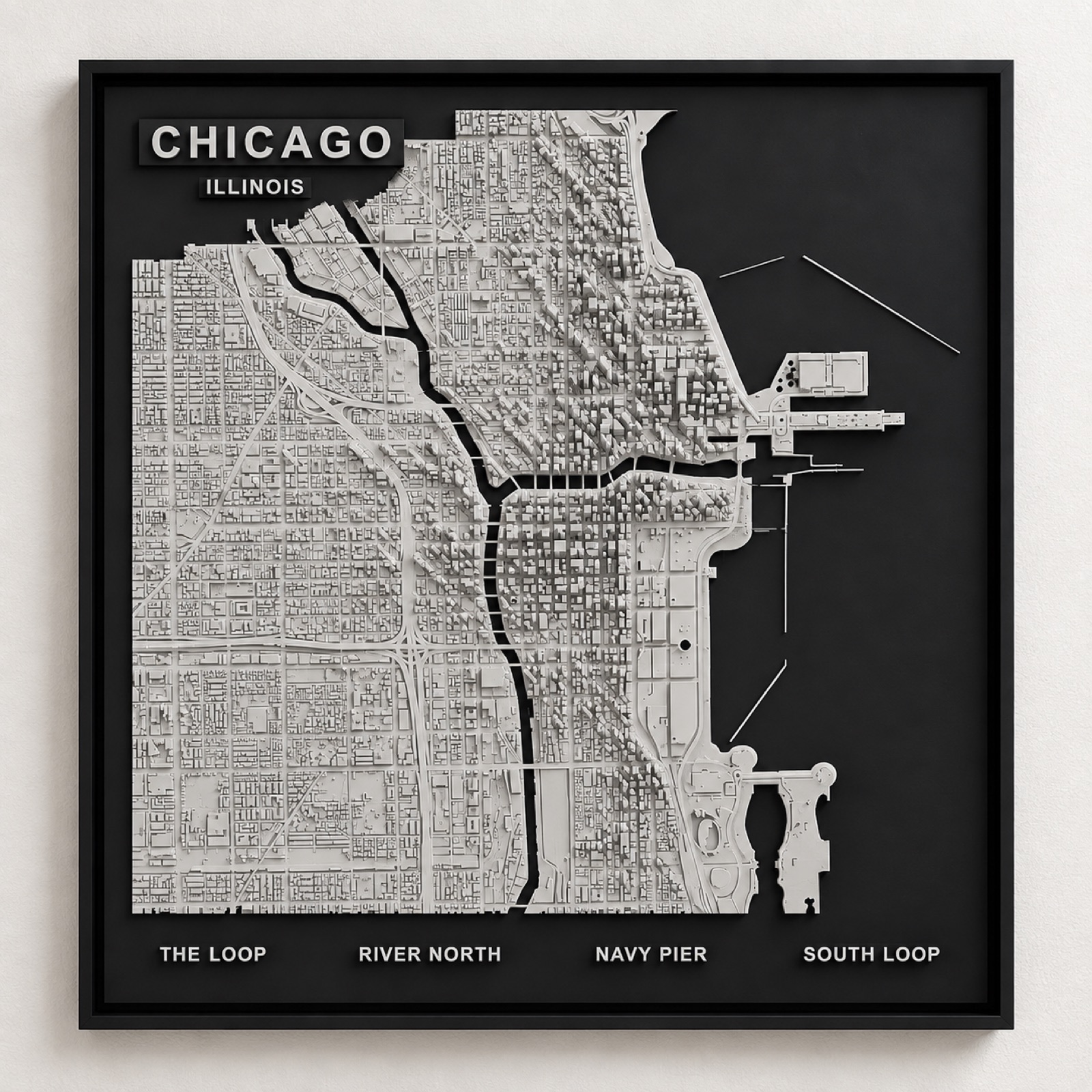
The Loop, building by building.
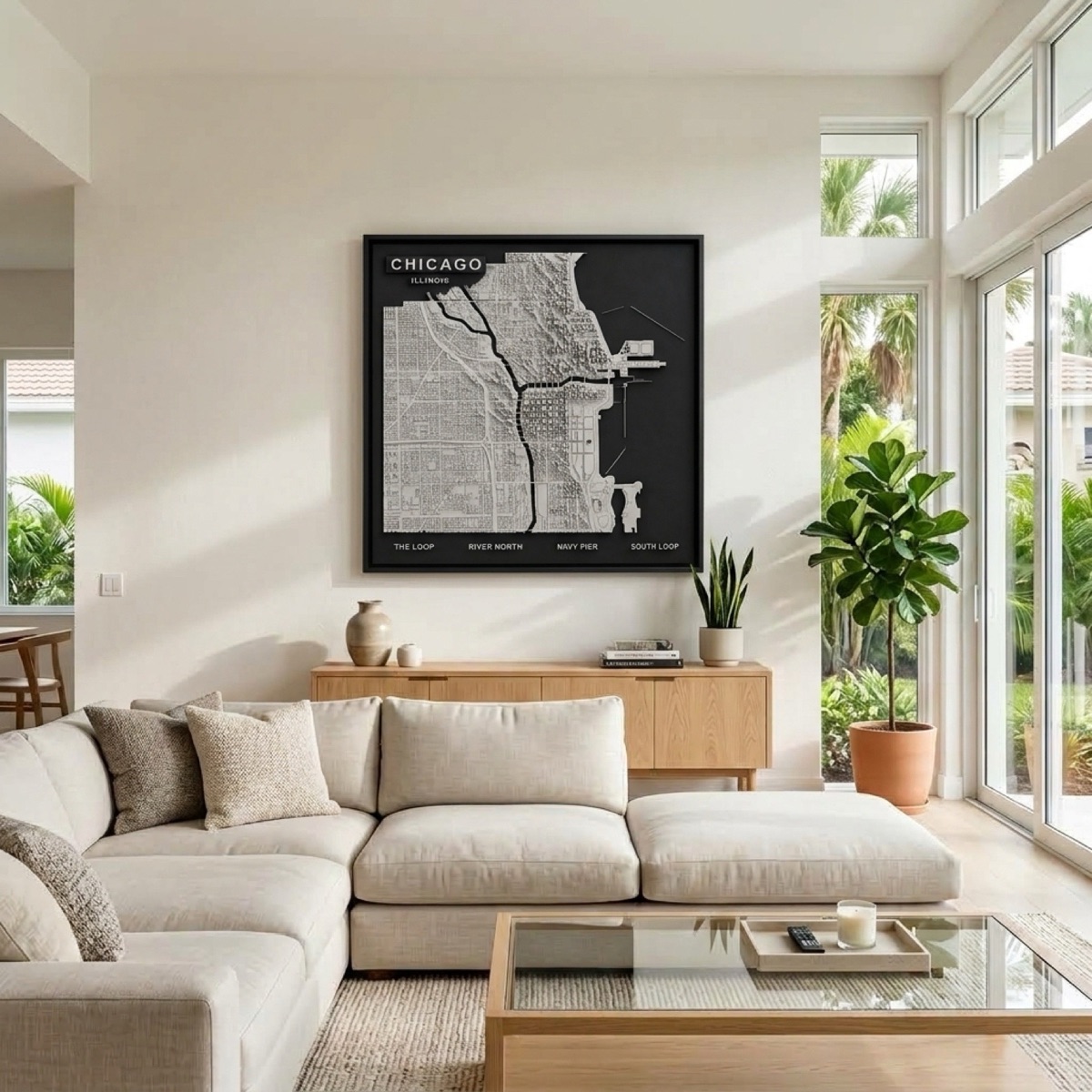
The towers of the Loop stand at their real relative height, the river cuts through the middle, and Lake Michigan drops away in matte black. The grid you see is the grid you drove.
The most disciplined grid in America
Chicago's street grid is the clearest in the country and the panel is mostly a portrait of it. Everything is numbered outward from the corner of State and Madison, eight blocks make a mile, and the system holds across the whole city. That regularity is why a relief map of Chicago reads as Chicago even before you find a building you recognise — no other large American city is laid out with this much consistency.
Against that order, the river is the disruption. The Chicago River splits into a North and South Branch right at the centre of downtown, cutting the grid into three unequal pieces and forcing the bridges that give the Loop its shape.
What the Loop actually is
The Loop is not a vague term for downtown. It is the rectangle enclosed by the elevated tracks — Lake, Wabash, Van Buren and Wells — and that rectangle is visible in the panel as the densest block of raised buildings on the map.
South of it the heights fall away into the South Loop, north across the river they climb again through River North, and east the land simply stops at the lake. The panel leaves Lake Michigan and the river as matte black, which is what gives the built area its edge: in Chicago the waterline is a hard boundary, not a gradient.
Chicago also comes as a skyline sculpture.
The same city as a freestanding desk or shelf piece rather than a wall panel — three sizes, from $34.99.
See the Chicago skyline →