Los Angeles
Downtown, and the grid that never ends.
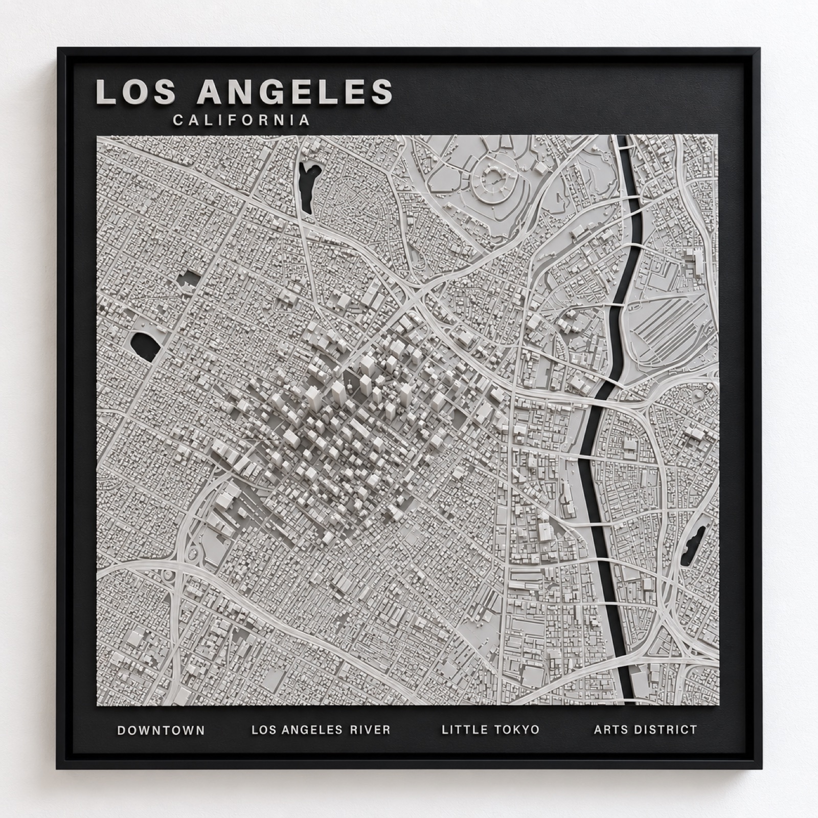
The cluster of Downtown towers rises out of the low grid that defines the city, with the freeways cut through it and the Los Angeles River running down the edge in black.
The map of a city with no centre
Every other panel here is organised around a core. Los Angeles is not. Downtown is a compact cluster of towers sitting in a basin that keeps going in every direction for forty miles, and the relief map makes that plain in a way a photograph never does: a small raised knot, and then grid, to the edge of the frame.
That is the honest portrait of the city. Los Angeles was assembled from separate towns that grew together rather than radiating out from one point, and the street pattern still carries the seams where their grids meet at slightly different angles.
A river that is not a river
The Los Angeles River runs fifty-one miles across the basin and is almost entirely lined in concrete, channelised after the 1938 flood. For most of its length it is an engineered trench rather than a waterway, which is why it is famous as a film location and largely ignored as water.
On the panel it is left matte black like any other water, and the effect is quietly accurate: a hard straight line cutting across the grid, behaving more like infrastructure than geography. It is the one feature that explains the city's shape without needing a label.
Los Angeles also comes as a skyline sculpture.
The same city as a freestanding desk or shelf piece rather than a wall panel — three sizes, from $34.99.
See the Los Angeles skyline →