New York
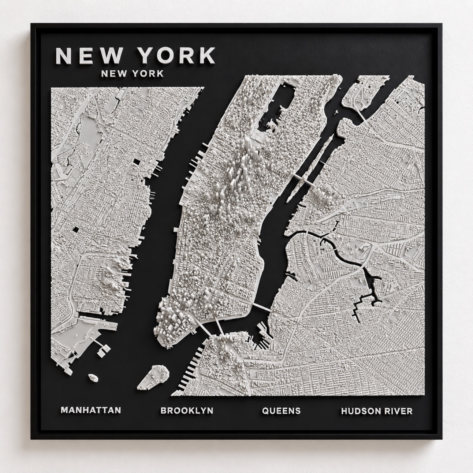
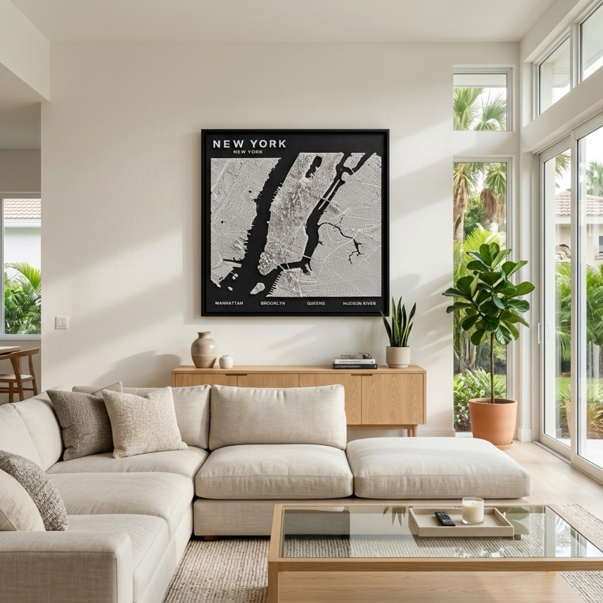
Manhattan, at real relative height.
Midtown and the Financial District rise off the panel while Brooklyn and Queens hold the low brownstone grid. Central Park is cut clean out of the middle, and both rivers fall away in black.
Two cities on one island
Manhattan below Houston Street grew before anyone planned it — the streets bend, meet at odd angles and carry names rather than numbers, because they follow colonial paths and the old shoreline. Above Houston, the 1811 Commissioners' Plan imposed a rigid grid of twelve avenues and 155 streets onto what was then farmland.
The seam between those two systems is the single most recognisable feature of any New York map, and in a relief panel it is unmistakable: tangled texture at the bottom of the island, ruled order above it. Broadway is the giveaway that ties them together, running diagonally across the grid because it predates it, and producing Times Square and Union Square wherever it cuts a corner.
Height tells the story the grid cannot
Manhattan's skyline has two peaks rather than one. Downtown around Wall Street is dense and tall, Midtown is taller still, and between them is a stretch of noticeably lower building through the Village and Chelsea. The usual explanation is bedrock depth, and whatever the cause, the dip is real and visible.
Because every building on the panel is raised at its true relative height, that double peak appears on its own. The East River and the Hudson are left matte black on both sides, which is what makes the island read as an island rather than as a neighbourhood of a larger mass.
New York also comes as a skyline sculpture.
The same city as a freestanding desk or shelf piece rather than a wall panel — three sizes, from $34.99.
See the New York skyline →