St. Petersburg
A city with water on three sides.
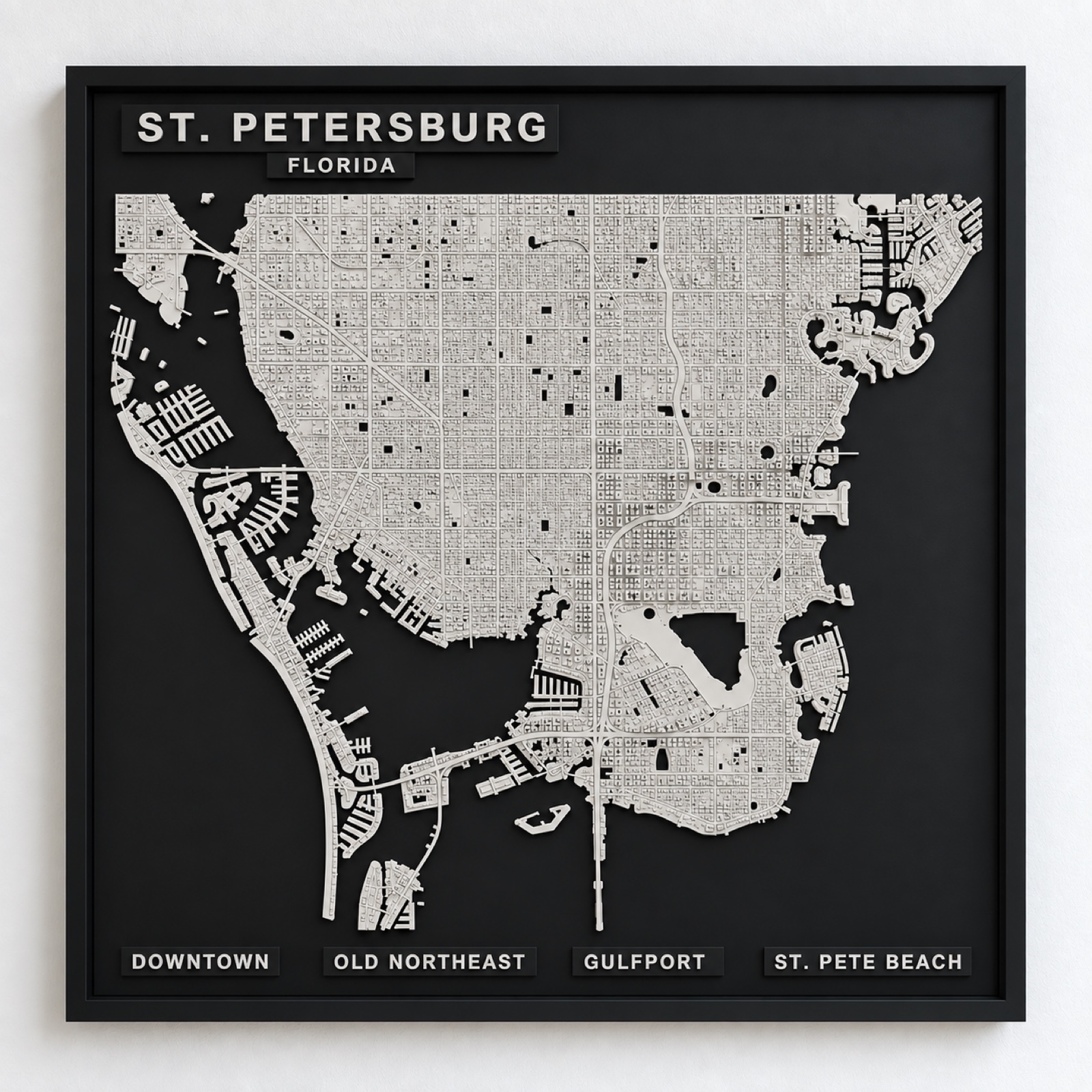
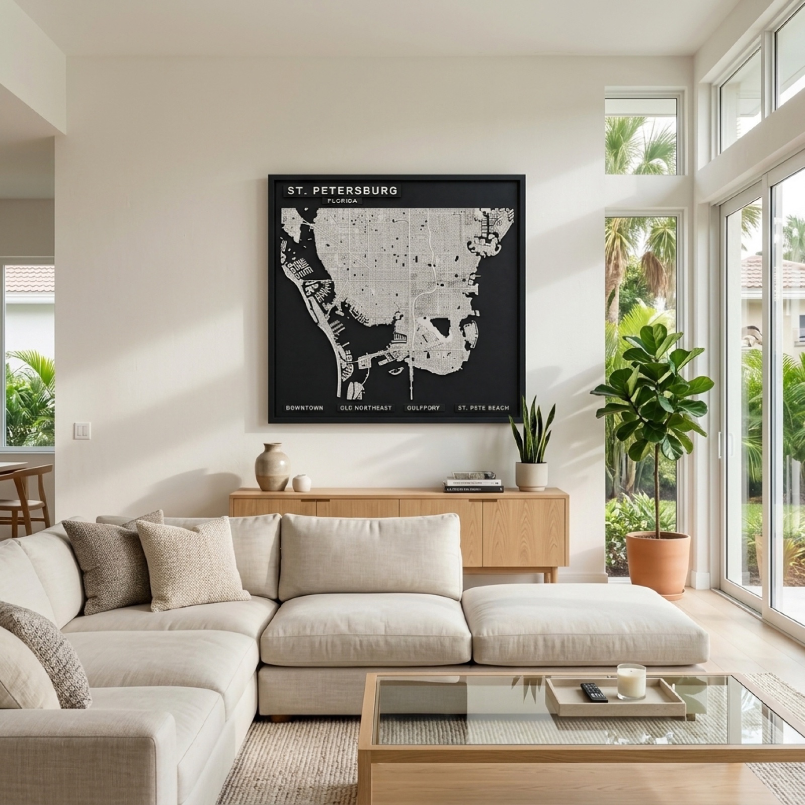
The peninsula in full — the downtown waterfront and its piers, the long even grid running north through the Old Northeast, and the barrier islands breaking up along the Gulf edge, with both bays dropped away in matte black.
Water on three sides
St. Petersburg sits on a peninsula with Tampa Bay to the east, Boca Ciega Bay to the west and the Gulf beyond the barrier islands. Almost nowhere in the city is far from water, and on a relief panel the land reads as a narrow spine with black pressing in from both edges.
That geography is also why the city never built outward the way Tampa did across the bay. There was simply nowhere to go, and the density went into the downtown waterfront instead.
The barrier islands are a separate city
St. Pete Beach, Treasure Island and the islands along the Gulf are their own strip of land entirely, connected by causeways and bridges. On the panel they appear as a thin raised line running parallel to the mainland with black between — a shape that belongs to this stretch of Florida coast and nowhere else in the collection.
Inland, the Old Northeast keeps its brick streets and the grid is older and tighter than the newer development further out, which gives the northern half of the panel a different texture from the south.