Tampa
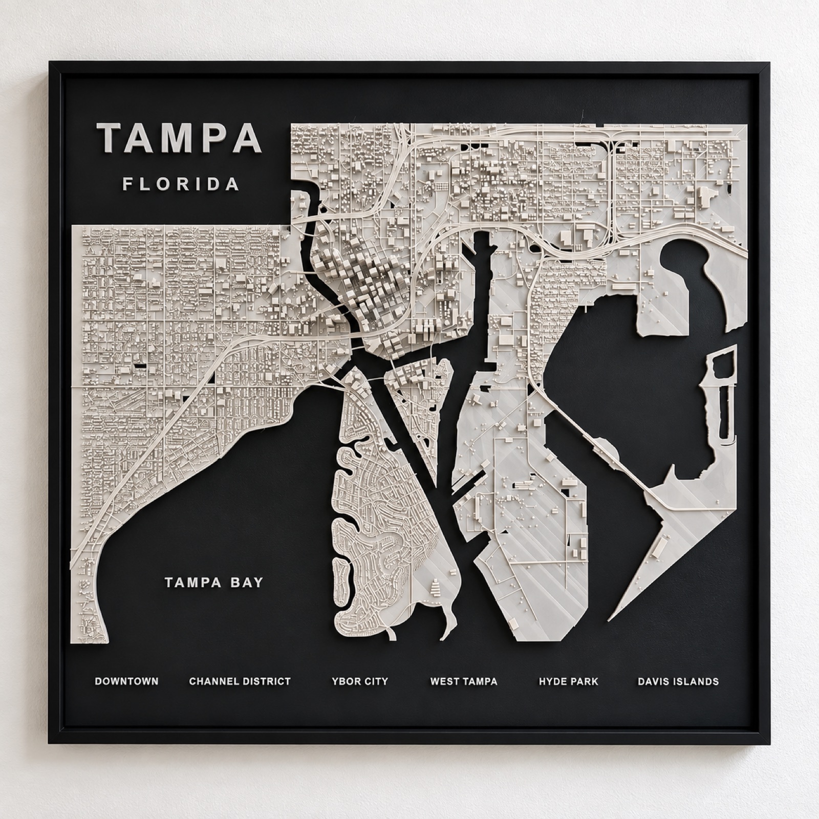
Downtown to Davis Islands.
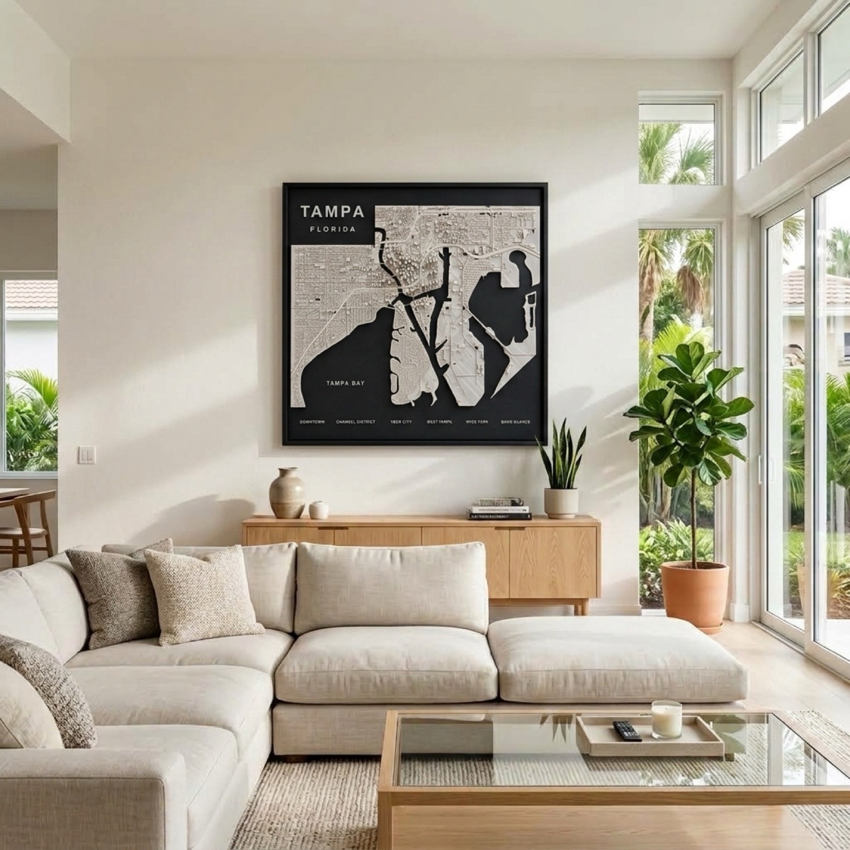
From the downtown towers to the low residential grid of Hyde Park, with the street network cut in between and Tampa Bay dropped away in matte black.
Three bodies of water doing the work
Tampa's shape is dictated by water arriving from three directions. Tampa Bay opens to the south, Hillsborough Bay pushes up into the city, and the Hillsborough River runs down through the middle to meet it. The result is a downtown on a peninsula with water on more sides than not.
That is why the panel has so much matte black relative to its built area. Tampa is not a city with a waterfront; it is a city threaded through water, and the land reads as a set of fingers rather than a block.
Davis Islands were not there
The two islands just south of downtown are man-made. They were dredged up out of the bay in the 1920s by D.P. Davis, who sold lots on land that did not yet exist, and their neat rounded outline is noticeably unlike the ragged natural shoreline around them.
Along the mainland edge runs Bayshore Boulevard and what is often described as the longest continuous sidewalk in the world. Between the invented islands, the engineered waterfront and Ybor City's old grid set at its own angle to downtown, Tampa has more deliberate geometry in it than most Florida cities.
Tampa also comes as a skyline sculpture.
The same city as a freestanding desk or shelf piece rather than a wall panel — three sizes, from $34.99.
See the Tampa skyline →